Vertical wind shear and hurricanes

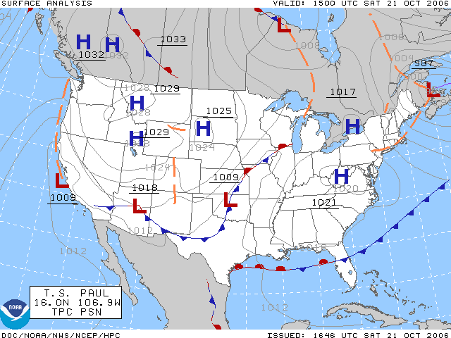
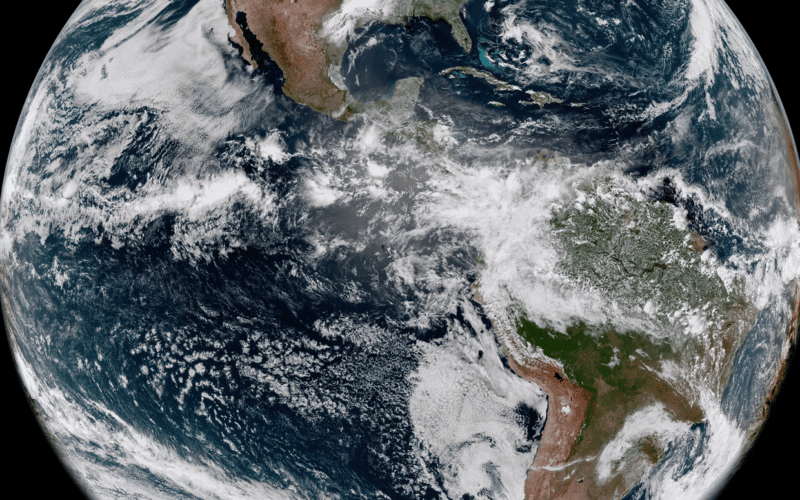
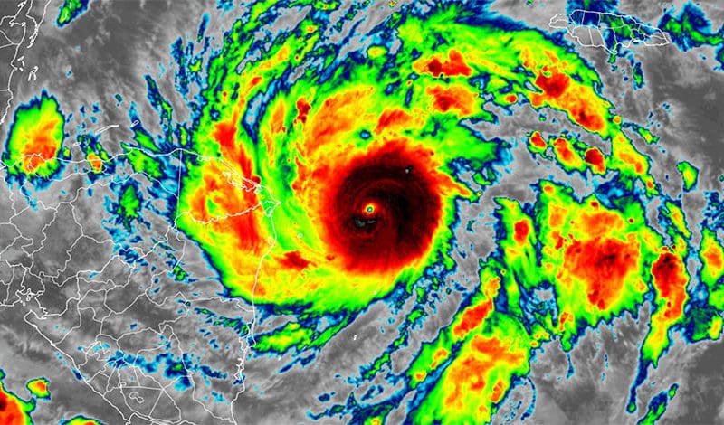
by Ken McKinley   There is much more information disseminated about hurricanes today than there was a generation ago, which is a good thing. Back then, forecasts were not as accurate as they are today, and were generally sent only as text products. With widespread internet connectivity still in the future a generation ago, most members of the public and voyaging mariners got their information about hurricanes and their threats from radio or television reports. Some television meteorologists would generate graphics to show their audience, but they were not as sophisticated as they are today. These days the amount of…
Read More

Maui wildfires and Hurricane Dora

by Ken McKinley During the second week of August 2023 catastrophic wildfires have occurred in the Hawaiian Islands. The fires have been most severe over western portions of the island of Maui, and the town of Lahaina has suffered near total destruction in some areas. Many news reports have cited Hurricane Dora as the primary cause of the development and rapid spread of the Hawaiian wildfires, but this is not the case. Lahaina has been a significant yachting center for cruisers and racers in recent years and has a rich maritime history. Unfortunately there has been significant loss of life…
Read More
Weather scales

Weather scales

Ocean voyagers have to be aware of many factors when it comes to ocean weather. Among these factors are the various scales at which the atmosphere operates. To the experienced observer, the observation of wave-like characteristics in the atmosphere is second nature. The observer sees the wave-like patterns in the clouds or the pulsating nature of snowfall as simple manifestations of these characteristics. The atmosphere exhibits wave-like properties because its essential nature is that of a fluid. And, as with any fluid, waves are produced in the atmosphere when it is disturbed. These waves come in all sizes. Indeed it…
Read More
Newest GOES weather spacecraft

Newest GOES weather spacecraft

NOAA released a photo today from its latest Geostationary Operational Environmental Satellite (GOES), GOES-18. The image shows the Western Hemisphere from 22,236 miles out into space. GOES-18 was launched on March 1, 2022 from Cape Canaveral, Florida. This latest version of the GOES line has an Advanced Baseline Imager (ABI) instrument that can see Earth using 16 different channels, each measuring energy at different wavelengths along the electromagnetic spectrum. This allows the satellite to gather data about Earth’s atmosphere, land, and ocean. This is good news for voyagers, as better imagery translates into better marine forecasts. From the press release: "GOES-18…
Read More
Cooking up a cyclone

Cooking up a cyclone

As the June to November hurricane season evolves, attention will gradually focus on certain conditions of both atmosphere and ocean — six specific factors, or “ingredients.” Not only are these factors necessary, but their timing needs to be synchronized to cook up a cyclone. A number of those “ingredients” can be affected by the status of ENSO, a known, periodic, irregular (two to seven year cycle), tropical climactic seesaw of atmospheric pressure, sea surface temperature and winds. Finally, an unanticipated factor may appear that warps model predictions of a potential storm’s genesis, intensity and track – an effect sometimes dubbed…
Read More