According to a recent report in Popular Mechanics magazine, the U.S Air Force, the military service that manages GPS, is looking into the possibility of navigating aircraft and missiles using the Earth's magnetic field. Vehicles would make use of detailed maps of the field to determine position and guidance. The Air Force is investigating such a navigation system due to the vulnerabilities of GPS. In a conflict, an enemy might destroy the satellites in orbit or jam or spoof GPS signals.
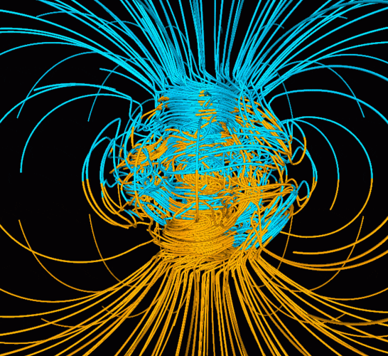
The full details of how such a magnetic system would work are not given but the concept of using the geomagnetic field not just for direction, as is done with magnetic compasses, but also for positioning goes back to ideas promoted by British Astronomer Royal Sir Edmund Halley (of comet fame). Halley believed the earth's magnetic variation could be tied to longitude. Halley undertook several voyages in the North and South Atlantic measuring geomagnetism and in 1701 produced a map that showed areas of like magnetic variation. He connected these areas and invented the isogonic line. Halley's attempt to devise an isogonic-based system for fixing longitude never worked, however, and the later invention of the marine chronometer by John Harrison put the concept to rest.
If the Air Force does perfect such a system, perhaps it could be simply dubbed "Halley." After all, the European Union has given its version of GPS the name Galileo. Imagine the possibilities: "Sarge, hell of a thing but Halley says we're heading for Helsinki."