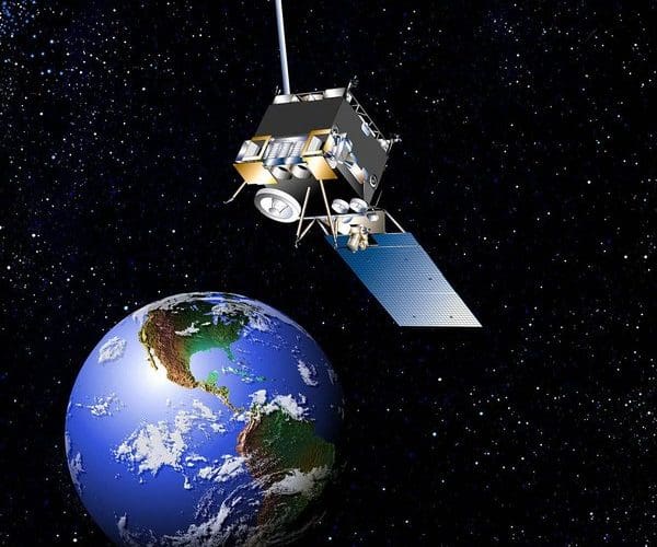
NOAA's GOES East weather satellite has experienced serious problems with its imaging equipment for the second time in a year. The satellite, which is in a geostationary orbit, parked at a spot over the equator at 75 degrees west longitude, is currently out of service. NOAA's Geostationary Operational Environmental Satellites (GOES) series of satellites provide large area images to forecasters. NOAA's polar-orbiting satellites, on the other hand, provide more of the data that is plugged into weather forecasting models, so the GOES East failure, while damaging, is not a fatal blow to forecasting efforts.
NOAA engineers are attempting to fix the problem with GOES East by uploading new software. If GOES East, which was launched in 2006 and was expected to last for 10 years, can't be fixed, a backup satellite named GOES 14 will be turned on to cover the U.S. east coast and the western North Atlantic. GOES 14, however, is located at 105 degrees west and won't have as good an angle to view the east coast of the U.S. NOAA also operates GOES West at 135 degrees west for imaging the eastern Pacific and the U.S. west coast.
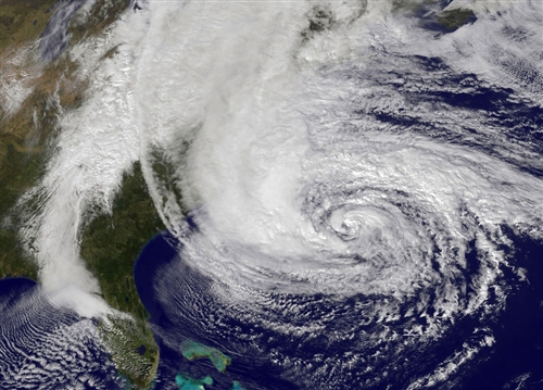
This satellite failure right before the official start of the hurricane season comes at a bad time for forecasters. NOAA recently released a statement that the agency expects an "above normal and possibly extremely active" hurricane season with 13 to 20 named storms. Below is a GOES East image of hurricane Sandy taken on Oct. 28, 2012.