One of the intriguing aspects of celestial navigation is that unlike coastal navigation, the distances involved are so great that attempts to represent celestial navigation concepts with diagrams run into problems.
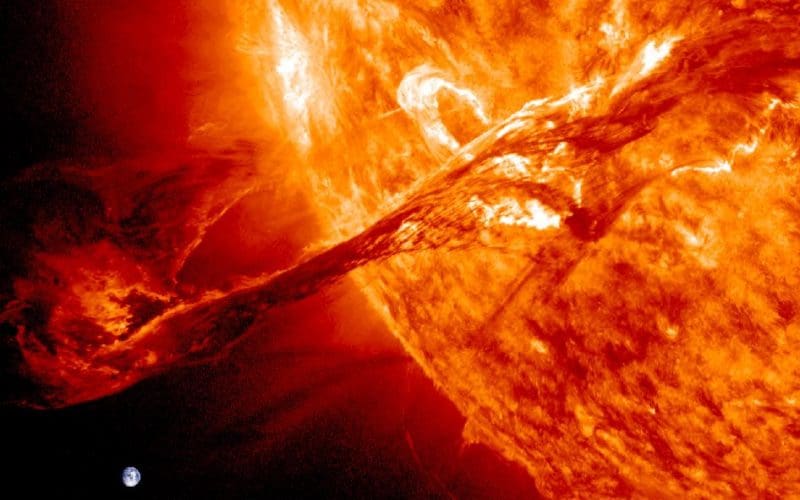
For example, a key tenet of celestial navigation is that the rays of light coming from the sun are essentially parallel because the sun is so far away and so big. This seems suspect to us because we experience the earth as big from the deck of our boats. Think about two observers on the surface of the earth, however. Each observer is at one of the earth's poles. These navigators would be about 8,000 miles apart, which sounds pretty far — especially if you had to sail it upwind. The sun, however, is 93 million miles away and vastly larger than the earth. So our biggest distance on the earth is 8,000 miles but that is only 0.0085128% of 93 million miles. This explains how we can say light rays coming from the sun are essentially parallel lines anywhere on the illuminated half of the earth.
Because of these huge numbers, frequently the diagrams we use in celestial nav can't be drawn to scale and as a result are somewhat inaccurate. The best we can do is to use them to help us understand the concepts. In this "teaching mode" they serve us well.
So if you've struggled with celestial navigation, we have two suggestions: 1) blame the diagrams for misleading you and 2) sign up for one of our celestial navigation seminars. We'll set you right in just one weekend!