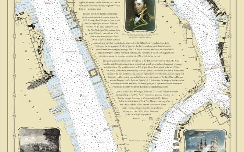
To commemorate the 200th anniversary of the War of 1812, NOAA is offering five commemorative charts of U.S. harbors that were involved in the naval side of the war. There are charts of Boston, New York, Baltimore, Norfolk and New Orleans. Each chart has all the standard modern day navigation data on depths, obstructions, lights, aids to navigation and landmarks, but each also has images and notes on people and places associated with the harbor during the war. The Baltimore chart, for example, has images of Ft. McHenry and Francis Scott Key and notes about the writing of The Star Spangled Banner.
The charts can be viewed on your computer and downloaded as PDF files for printing.